 UW Home
 |
|
|
|
|||||||
|
|
|||||||
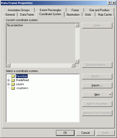
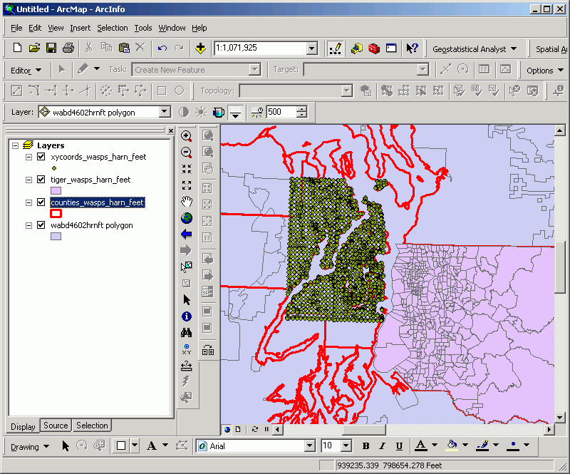
You will be able to tell if you have done this exercise correctly by adding all the data sources to a data frame in ArcMap and clearing the Coordinate System property.
Dying to know what the properties of the source data are? Not afraid to get flamed? Send me an e-mail message for the user and password for the answer.
If you want a more formal lesson in projections, coordinate systems, and datums, see my lesson for ESRM 250. Also I recommend The Geographer's Craft, including Peter Dana's excellent resources on projections, coordinate systems, and datums.
|
|
|
Phil Hurvitz,
GIS Specialist |
Copyright © Phil Hurvitz, 1998-2007 |